unique tricks
How to Measure Distance Between Two Places on Google Maps?

Advertisement
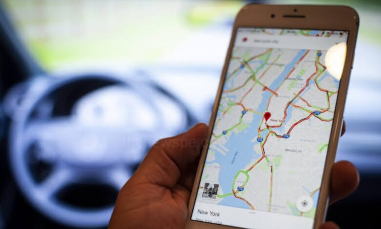
If you want to know the distance between two points on map, Google Maps can help. Go through this article and know how you can measure distance between two places using Google Maps in both the mobile app and desktop site.
How to Measure Distance Between Two Points on Google Maps App?
- Open Google Maps on your mobile.
- Find the first point on the app you want to use as a point. Tap and hold on that point on the map.
- A red pinch will appear. Here you will select ‘Measure distance’.
- Then, drag the Map on your screen to the next point you want to measure distance to your is lined up with the black dot marker.
- Then, tap on ‘+’ icon on right bottom to add a point.
- You will then see the distance between those two points at the bottom.
- You can go on to add multiple point if your like and then accumulated distance between all your points will be summed up and displayed at the bottom.
How to Measure Distance Between Two Points on Desktop Site?
- Find the first point you want to use as a point on Google Map.
- Right click on the Map, then select ‘Measure distance’.
- Then, click anywhere on the Map to add a point you want to measure distance to.
- You will see the distance listed at the bottom of the page.
- You can continue adding more points if you like and accumulated distance between all of your point will be summed up and displayed at the bottom.
Above methods will measures the distance in a straight line directly between the point you select, not taking in to account the actual root to travel them. If you want to see the travel distance between two points using actual route it will take, you can look for direction between two places instead.
Humbly Request To All Visitors!
If you found above both downloading link expired or broken then please must inform admin.
Advertisement


